See the shadows at any address, any day, any minute
Will the terrace get evening sun in June? Does the flat you're about to rent see any sun in December? Sunshade shows the real shadows of buildings, trees and hills at any moment of the year.
Open the live shadow map →Free, in your browser. Needs a device with WebGL.
How it works
- Live shows the shadows at one moment. Drag the timeline, step with the arrow keys (← → for 10 minutes, ↓ ↑ for a day), or press play to watch a whole day go by.
- Pin a spot and its sun windows appear under the timeline. The spot card adds a fisheye sky view with the solstice and selected-day sun paths, and the whole year's sun curve.
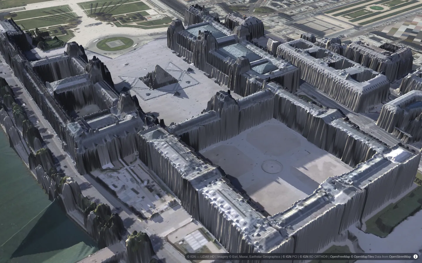
- 3D drapes aerial photos over the surface model, lit by the same sun. Tilting the map switches to 3D.
- Share any view: the place, date, time and pin are all in the link.
Every cell is ray-marched towards the sun through the surface model on your graphics card, with the width of the solar disc included so shadow edges soften naturally. The sun's position uses the NOAA algorithm, and times are local to the place you're looking at, daylight saving included.
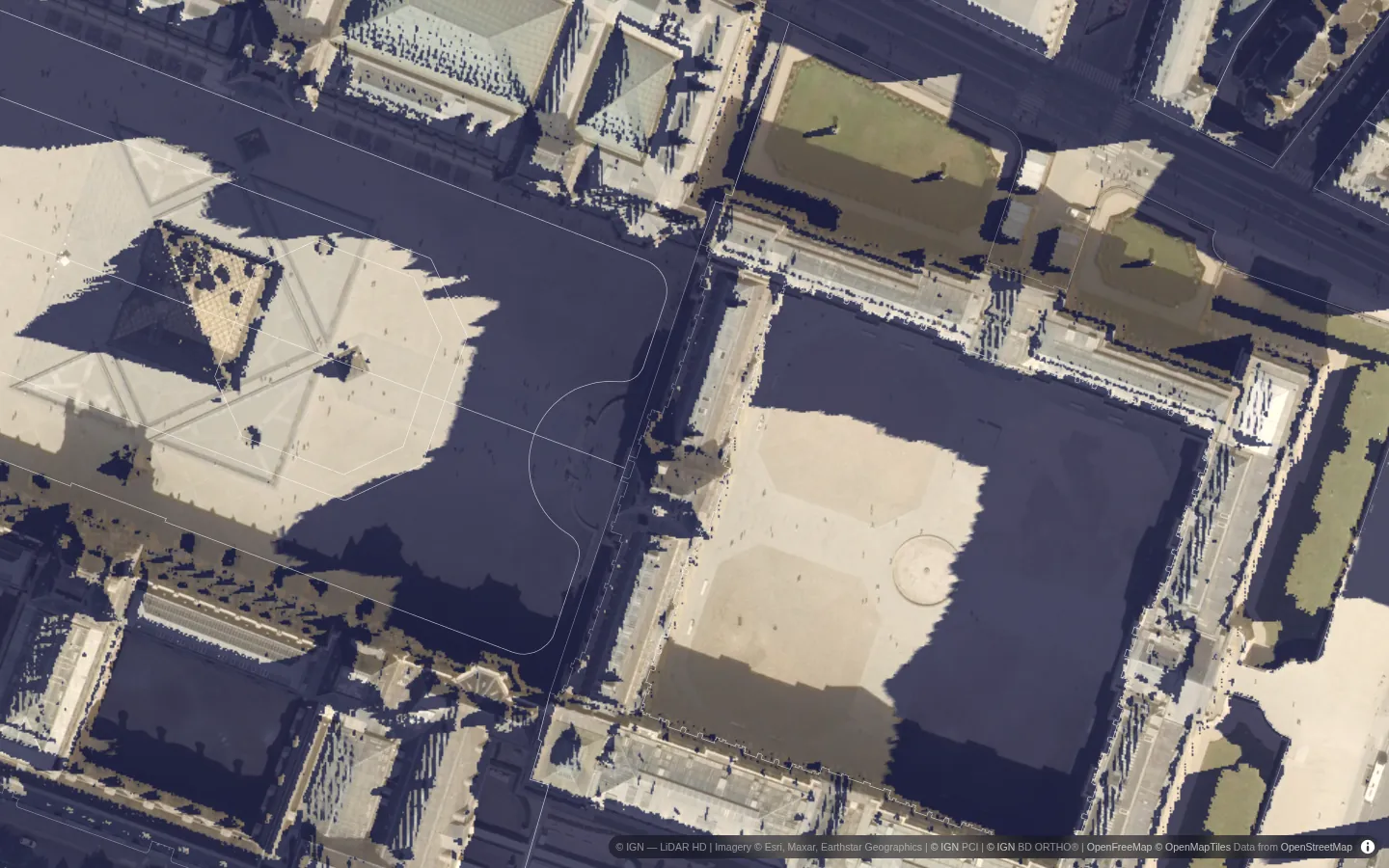
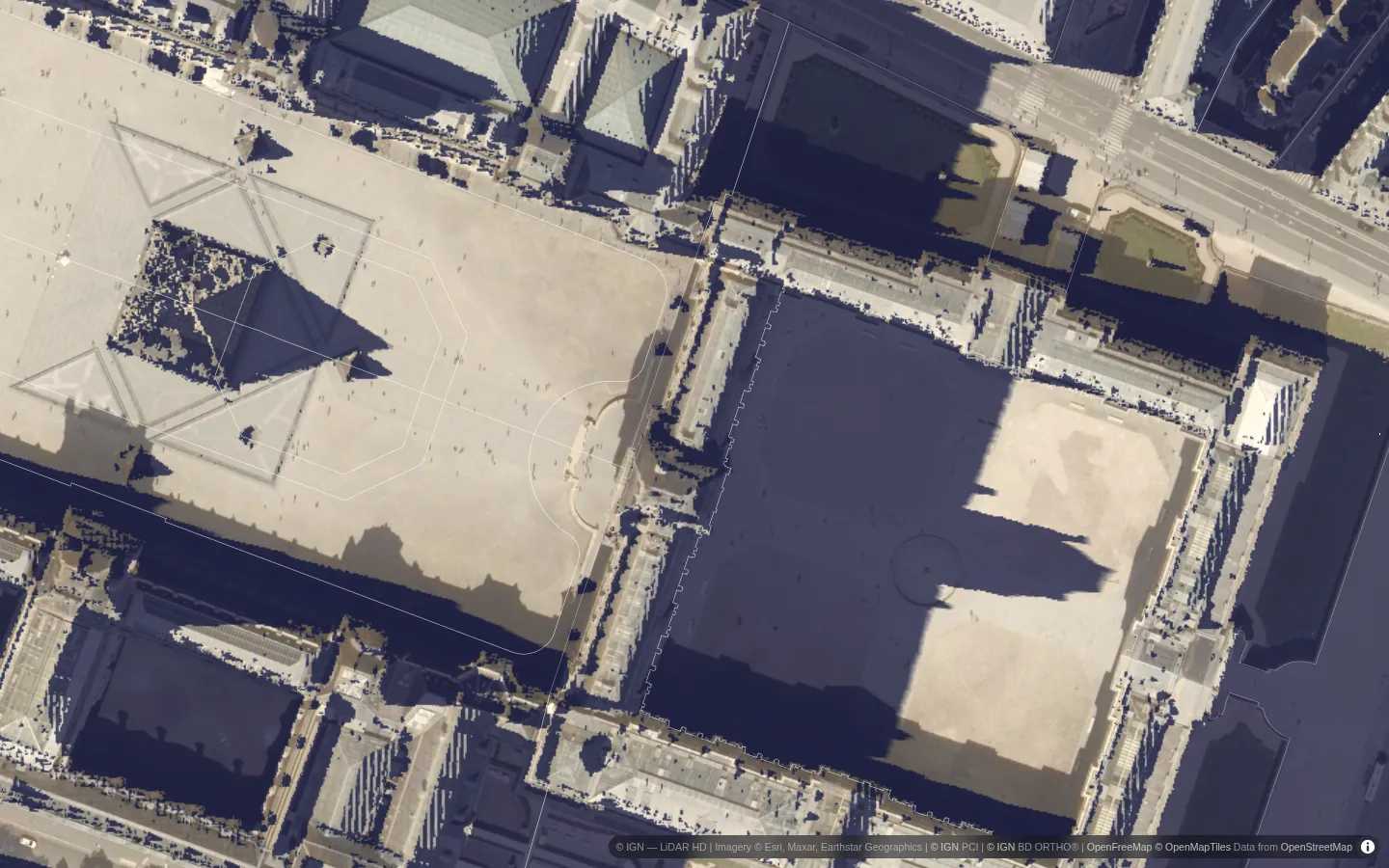
To see the total rather than a single moment, switch to Day for hours of direct sun on a date, or Season for the average over a season or the year.
Examples
Take the guided tour for eight of them, rendered and ready to explore. The app's example places each open tilted in 3D at the moment that tells their story: the Louvre at golden hour, Zermatt under its ridges, cliff-hung Rocamadour, Amsterdam's canal houses, Edinburgh's castle rock, Wellington in its June midwinter, and the skyscraper canyons of Lower Manhattan.
Where the data comes from
Where countries publish national LiDAR surveys, Sunshade uses them directly: France (IGN LiDAR HD, with photogrammetric surfaces where LiDAR isn't available yet), the Netherlands, Flanders, Switzerland, England, surveyed parts of Scotland and Canada, Norway, New Zealand, North Rhine-Westphalia and Mecklenburg-Vorpommern. Everywhere else it builds an estimate from OpenStreetMap buildings, a global tree canopy-height map and terrain. The estimate shows big shadows (towers, streets, hills) well and small ones (a hedge, a shed) poorly; the status pill in the app always says which source you're looking at. All of it is open data, fetched live by your browser, and the shadows are computed on your own graphics card.
Open the live shadow map →