A guided tour of the sun
Sunlight is never just “sunny”. It is a moving edge, shaped by every roof, tree and cliff, and it changes minute by minute and month by month. Here are eight places where that edge tells a story — each one rendered from a laser survey of the real place and lit by the real sun. Press “Explore live” on any of them to step inside.
Open the map at your own address →Free, in your browser. Needs a device with WebGL.
01 · Paris, France
The longest day ends in gold
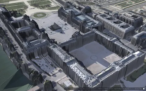
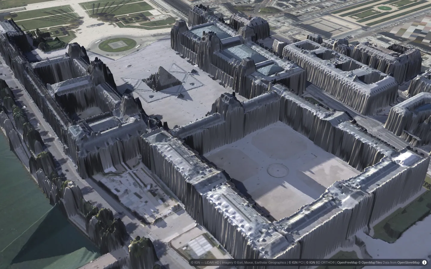
21 June, quarter to eight in the evening. The sun is barely a dozen degrees above the horizon and well north of west — on the solstice it sets further north than on any other day — so it rakes along the Louvre's wings instead of looking down on them. Every dormer and chimney throws a shadow many times its own height, and the great courtyard fills with shade from one side while the other still glows.
This is the same sun that will stand high over the courtyard at noon. Drag the timeline in the live view and watch the shadows swing round and shrink, then stretch out again towards evening.
02 · Chamonix, France
A town in the shadow of a mountain
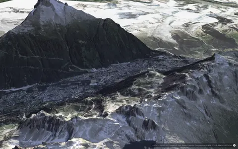
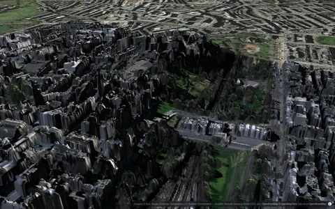
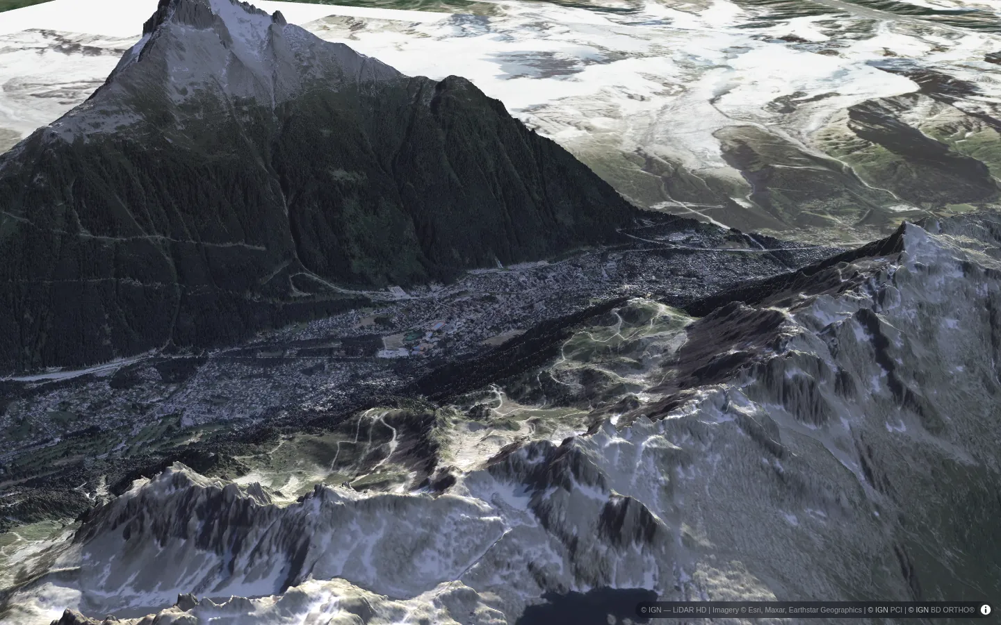
Chamonix sits at about 1,000 m in a deep valley, with the Mont Blanc massif — nearly four kilometres higher — standing directly to the south. In midwinter the sun climbs only around twenty degrees above the horizon at noon, and to the south that is exactly where the mountains are.
So at eleven in the morning on 21 December, much of the valley floor is still in the mountain's shadow while the snowfields above are in full sun. Switch the live view to Day and the map turns into a total: how many hours of direct sun each spot in the valley gets on the shortest day of the year.
03 · Rocamadour, France
A village stacked against a cliff
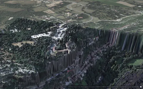
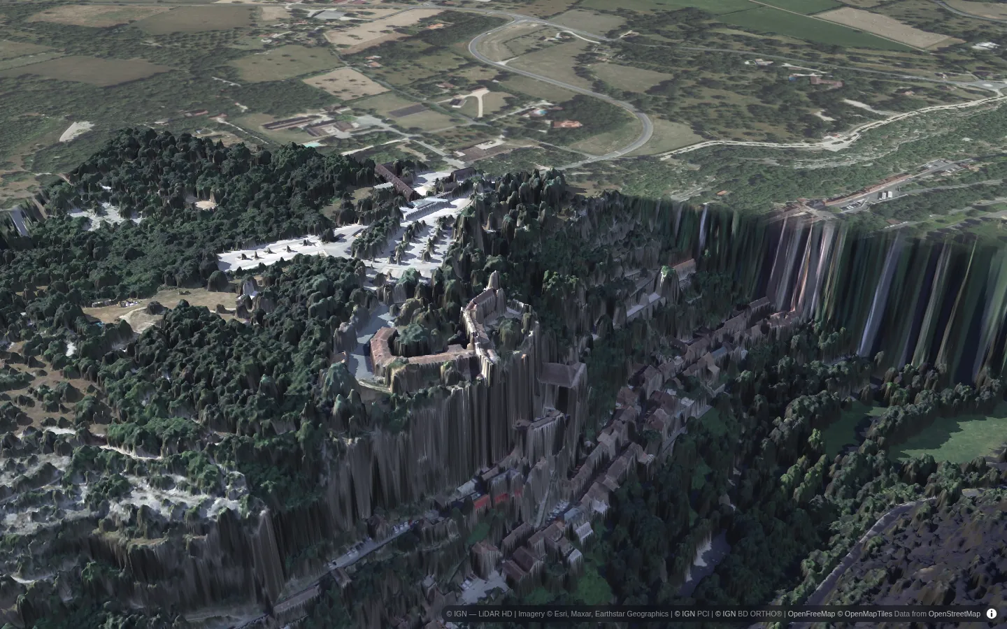
Rocamadour climbs the face of a limestone cliff more than a hundred metres high above the Alzou canyon: houses at the bottom, chapels in the middle, a château on top. The rock faces the sun for most of the day, so it is a giant heat store — and a giant sundial.
In a flat map the cliff would be invisible. In 3D the laser survey shows it as it is, and you can see the evening sun light up the château and the cliff face while the canyon below falls into shade. The shade climbs the rock as the evening goes on.
04 · Zermatt, Switzerland
An Alpine village under the ridges
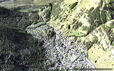
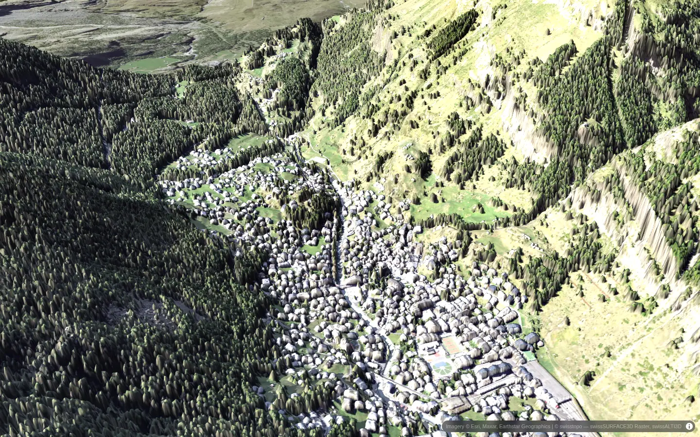
Zermatt lies at about 1,600 m at the head of a narrow valley, with slopes climbing a thousand metres and more on either side. Switzerland publishes a half-metre laser survey of the whole country, so every chalet roof, larch and lane is there. Even on the longest day the sun has to clear the eastern ridges before it reaches the village floor, and in the evening the western slopes cut the day short long before the real sunset.
Pin a balcony in the live view and the spot card draws its horizon as a fisheye: the jagged line of the mountains, with the sun's path for today and for both solstices across it.
05 · Amsterdam, Netherlands
Canal houses, one side at a time
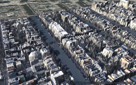
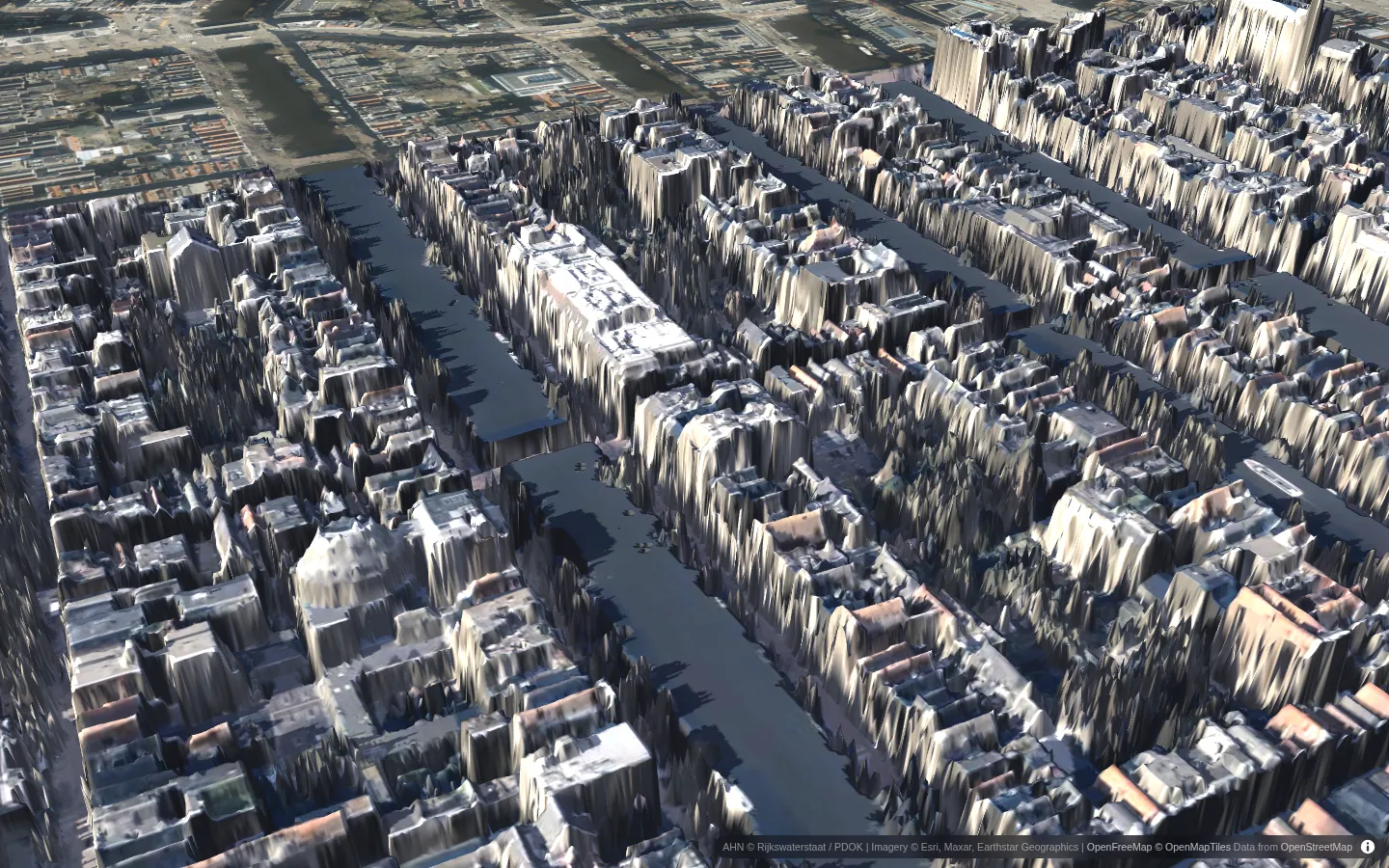
Amsterdam's canal houses are tall and narrow, packed shoulder to shoulder along the water. Which side of a canal you live on decides when you get sun: one row of façades is lit in the morning, the opposite row in the evening, and the trees along the quay take their share in between.
The Dutch national survey (AHN) covers every building and tree. Open the live view, step through a summer day with the arrow keys, and watch the sunlit side of each canal switch over.
06 · Edinburgh, Scotland
Midsummer, far north
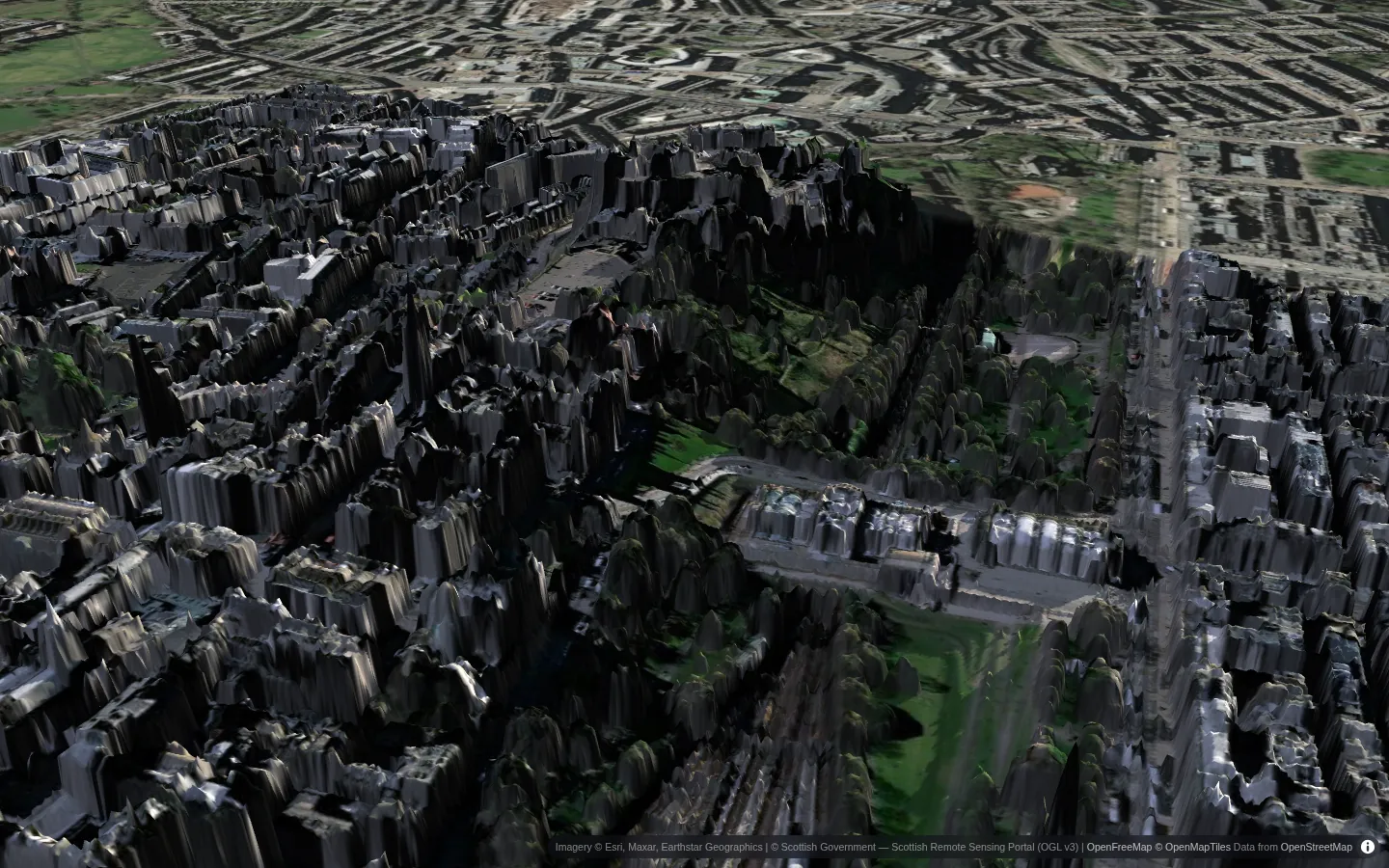
At 56° north, Edinburgh's solstice sun rises before five and sets after ten, swinging so far round the sky that it shines from the north-east in the morning and the north-west in the evening. The castle sits on an old volcanic plug above the city, and at half past seven in the evening the sun is still high enough to light its walls while the gardens below fall into shade.
Six months later it is the opposite: a sun that barely clears the rooftops, and streets that see no direct sun for weeks. Change the date in the live view to 21 December and compare.
07 · Wellington, New Zealand
June is midwinter
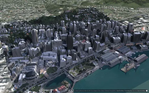
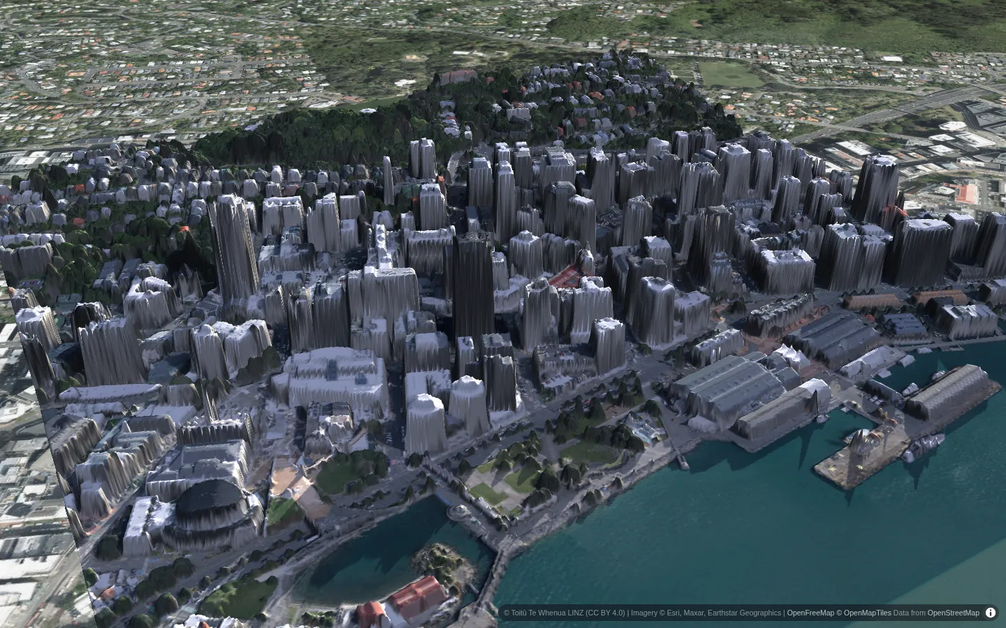
South of the equator the sun stands in the north, and June is the darkest month. In Wellington the midwinter sun climbs only about 25 degrees at noon, and the city is built on steep hills around its harbour. Houses on north-facing slopes catch the low winter sun all day; those on south-facing slopes can lose it for months.
New Zealand publishes its own laser survey, so the hillside streets are modelled house by house. Everything in Sunshade — seasons, times, which trees are in leaf — follows the hemisphere and the local clock of the place you are looking at.
08 · Lower Manhattan, USA
Canyons of glass
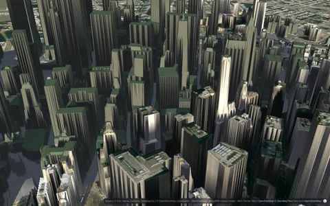
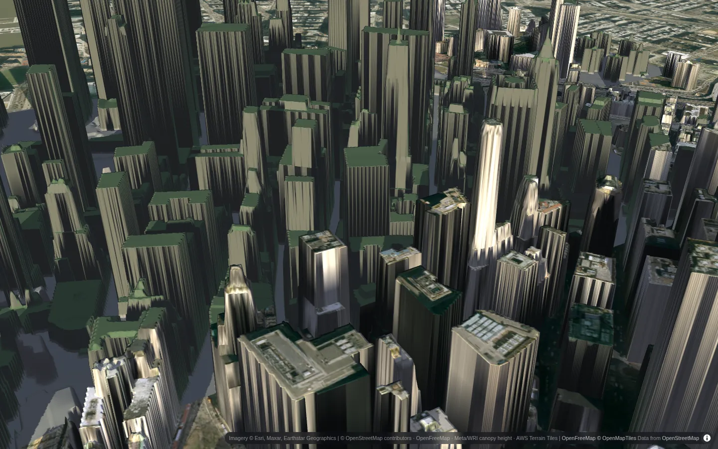
In December the sun at New York's latitude reaches only about 26 degrees at noon. Between towers several hundred metres tall, that means streets that stay in shade almost all day, and plazas that get their sun in narrow, short-lived slices.
There is no national laser survey here yet, so Sunshade builds the city from OpenStreetMap building heights, a global tree-height map and terrain. It is an estimate — perfect for towers and streets, rougher for a single tree — and the status pill in the app always tells you which kind of model you are looking at.
Your turn
Now try your own address
The same engine answers the everyday questions. Search an address and pin a spot, a roof or a house:
- Where should the vegetable bed go? Map the hours of sun across your garden and find the sunniest 3 × 4 m.
- Where should a shade tree go? Less sun on the walls in summer, without stealing the winter sun.
- Is the roof worth solar panels? Each roof face, its yearly sunlight and what it could produce.
- Will the terrace get evening sun? Real shadows at any address, any day, to the minute.
Where the data comes from
Where countries publish national LiDAR surveys, Sunshade uses them directly: France (IGN LiDAR HD, with photogrammetric surfaces where LiDAR isn't available yet), the Netherlands, Flanders, Switzerland, England, surveyed parts of Scotland and Canada, Norway, New Zealand, North Rhine-Westphalia and Mecklenburg-Vorpommern. Everywhere else it builds an estimate from OpenStreetMap buildings, a global tree canopy-height map and terrain. The estimate shows big shadows (towers, streets, hills) well and small ones (a hedge, a shed) poorly; the status pill in the app always says which source you're looking at. All of it is open data, fetched live by your browser, and the shadows are computed on your own graphics card.
Open the map at your own address →